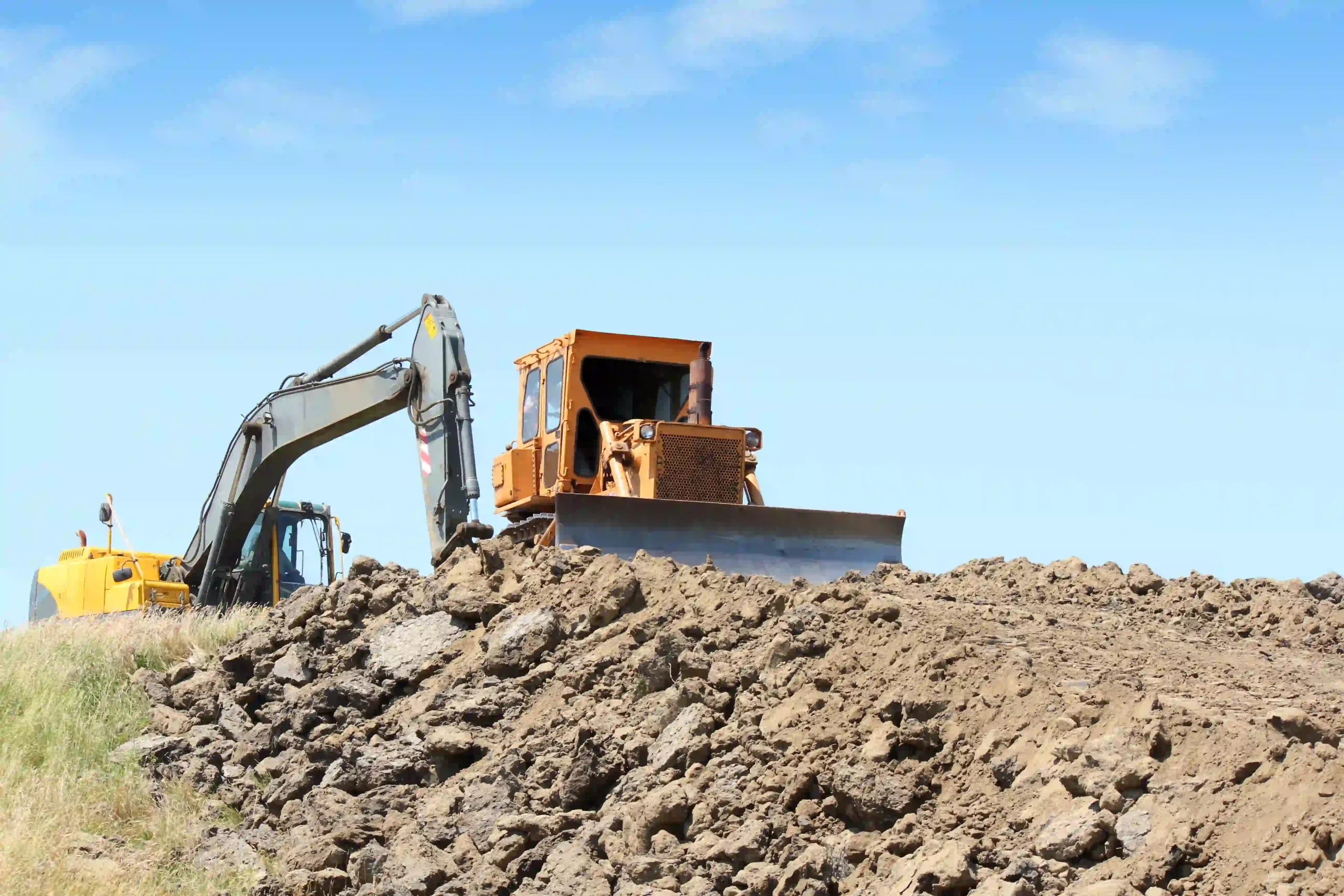


Precise geospatial data forms the foundation of land development and infrastructure projects. MaxNav supports construction teams with robust GNSS systems that streamline site layout, grading, and machine control. The C50 Data Collector with Mfield software enables real-time stakeout of points, lines, and surfaces directly from CAD plans. By minimizing positioning errors and rework, our solutions help keep projects on schedule and within budget, from ground-breaking to final inspection.